ZENO MAP
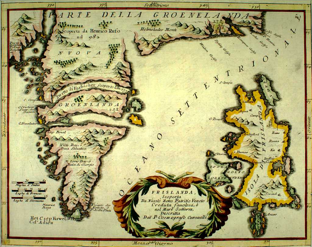
The researchers also examined, compared and recalculated the work of numerous geographers from Ptolemy through the Renaissance - including the first world map made by Mercator, a seminal figure in cartography, and a remarkable map dated 1380 called the "Zeno Map." It sjeemed to show Greenland too without an ice cap.
Thus, gradually, Hapgood, after exhaustive research and imaginative mathematical and cartographic experiments, came to his conclusions and, eventually, published them in a book called Maps of the Ancient Sea Kings (Chilton Books, Philadelphia, 1966). Briefly these are the conclusions:
- that the Piri Reis map, the portolano charts and many other ancient maps include information supposedly unknown in the 16th century and, in some cases, information that was not confirmed until the middle of this century.
- that the Piri Reis map and other maps were inexplicably accurate, particularly with regard to longitudes, which neither mariners nor cartographers could calculate until spherical trigonometry was developed in the 17th and 18th centuries.
- that some civilization or culture still unknown to archeology - and pre-dating any civilization known so farhad mapped North America, China, Greenland, South America and Antarctica long before the rise of any known civilization - and at a time when Greenland and Antarctica were not covered with their millennia-old ice caps.
- that to have done this, the ancient civilization had to have developed astronomy, navigational instruments - such as the chronometerand mathematics, particularly plane geometry and trigonometry, long before Greece or any other known civilization.
-that the advanced cartographic knowledge appearing on the Piri Reis map, the Oronteus Finaeus map and other maps came down in garbled and incomplete fragments that somehow survived the destruction of the unknown civilization itself and the repeated destruction of such ancient repositories of knowledge as the library at Alexandria.
